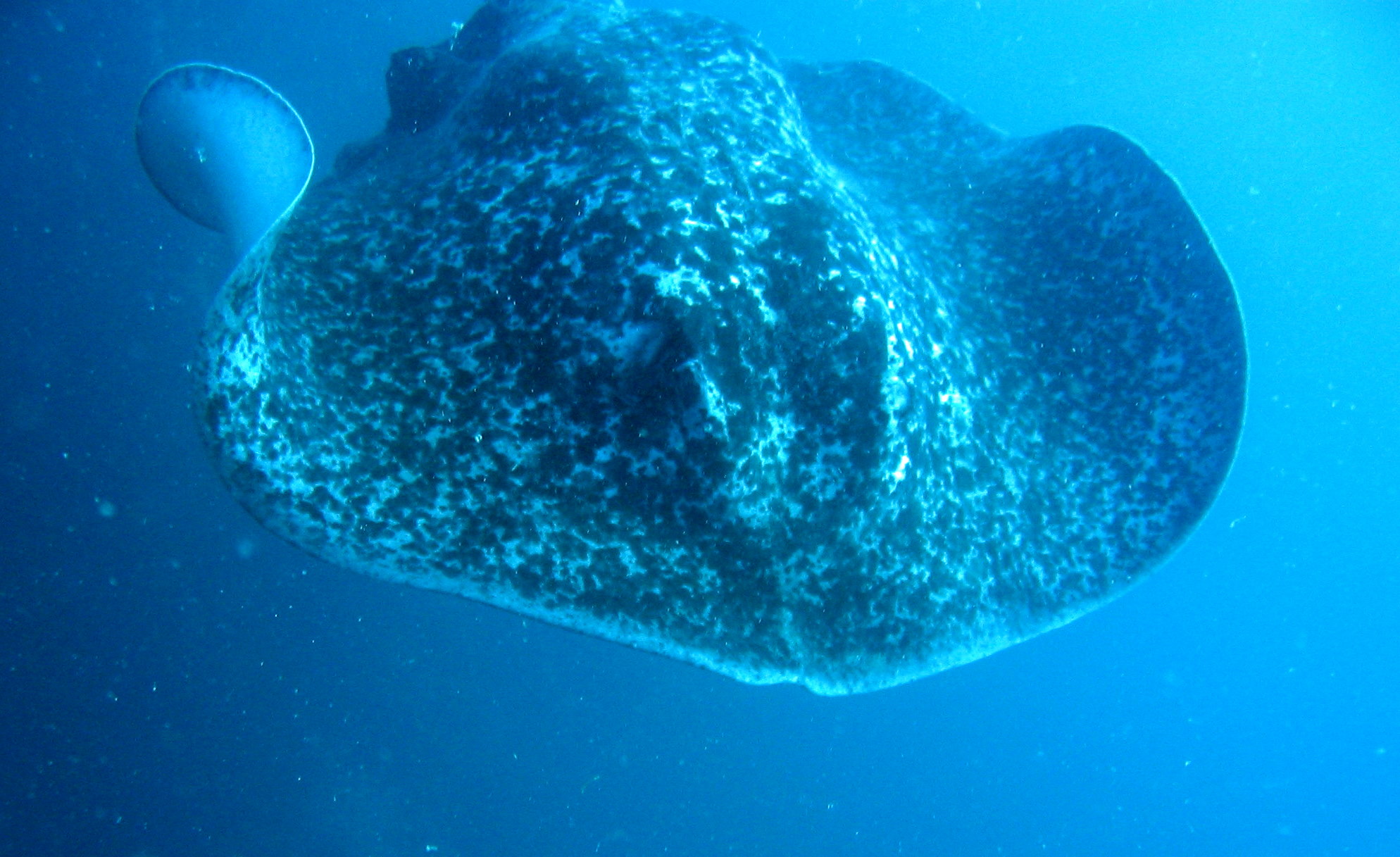
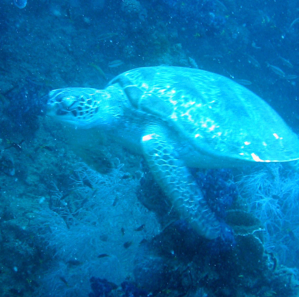
S.S. Yongala
Latitude: -19 18.2100
Longitude: 147 37.2200
Max depth: 27,1 m
Water: Salt
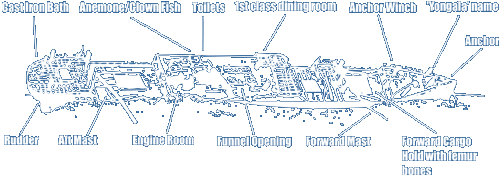
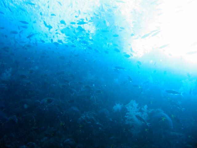
Comment: The S.S. Yongala sank in a cyclone on the 23rd March 1911 and remained undiscovered for almost 50 years, not being positively identified until 1958. The wreck now lies on its starboard side in 14-28 metres of water and at 109m long is the largest and most intact, historic shipwreck in Australian waters.